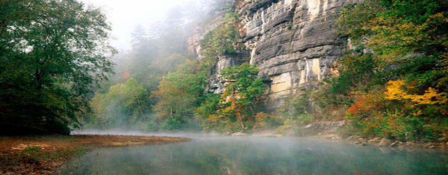
The Buffalo River Trail (BRT) is a 36.5 mile trail located in the Upper Buffalo section. The BRT tracks the Buffalo National River. It can be completed at once or in sections. The South Boxley to Ponca Section (11 miles) is covered here. Much of the trail is blazed with white and BRT signs but special attention should be paid as the trail becomes less visible after Running Creek.
Harrison, Arkansas is the nearest city center to the Upper River and many people begin their trip from here. From the Gateway City of Harrison, take Scenic Hwy 7 South out of town. Turn right onto Hwy 43. The road takes you through the Boxley Valley where elk graze against the backdrop of tree covered mountains. At Hwy 21 turn right and continue south. Be sure and take note of the beautifully preserved Boxley church on the right. As the road climbs out of the valley, turn off to the right at the South Boxley Trailhead. Overnight parking is allowed and the BRT begins here.
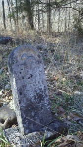
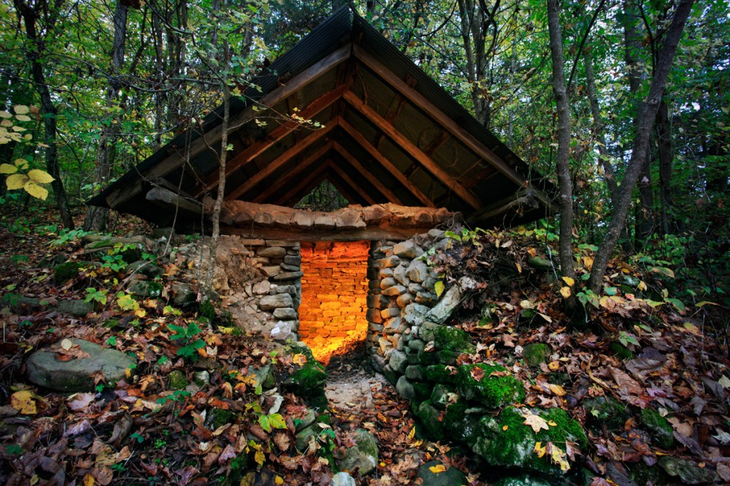
Right away you will see the original Whiteley homestead with the root cellar and chimney still visible. The Whiteley Cemetery sits above the parking area and is worth the extra little hike before starting out on the BRT. A National Park Kiosk adjacent to the parking area lists trail details.

Headstone in the Whiteley Cemetery located in the Buffalo River National Park Region. Photo taken by local hiker.
To begin, cross the highway and follow the signs for BRT. This section of the BRT was built in 1994 by volunteers including groups from the Ozark Society, the American Hiking Society and the Sierra Club to name a few. Fairly soon the trail becomes quite steep. The climb is worth it and soon the trail will open up to some breathtaking views. Locust trees, stands of beech, moss covered boulders and clear running streams accompany you along this 11 mile section of the Buffalo River Trail.
Mileage
Trailhead to County Road 25 1.7 miles
County Road 25 to Arrington Creek 1.6 miles
Arrington Creek to Dry Creek 4.3 miles
Dry Creek to Running Creek 0.6 miles
Running Creek to Sinkholes 2.1 miles
Sinkholes to Ponca Low Water Bridge 0.7 miles
Known as the Gateway to the National Park Region, Harrison offers a variety of shopping and accommodations. From big box stores to locally owned natural food stores, Harrison is also home to well-known and independently owned lodging. If you traveling from out of town, you may want to consider staying overnight in Harrison while you prepare for your trip. Shuttles to and from Harrison are offered by the Hotel Seville. Other hotels may offer shuttle service as well. Guidebooks detailing the trail are available. “Buffalo River Hiking Trails,” written by local photographer and outdoor enthusiast Tim Ernst, are recommended.


